How to link Google Sheets to Google Maps and create interactive maps
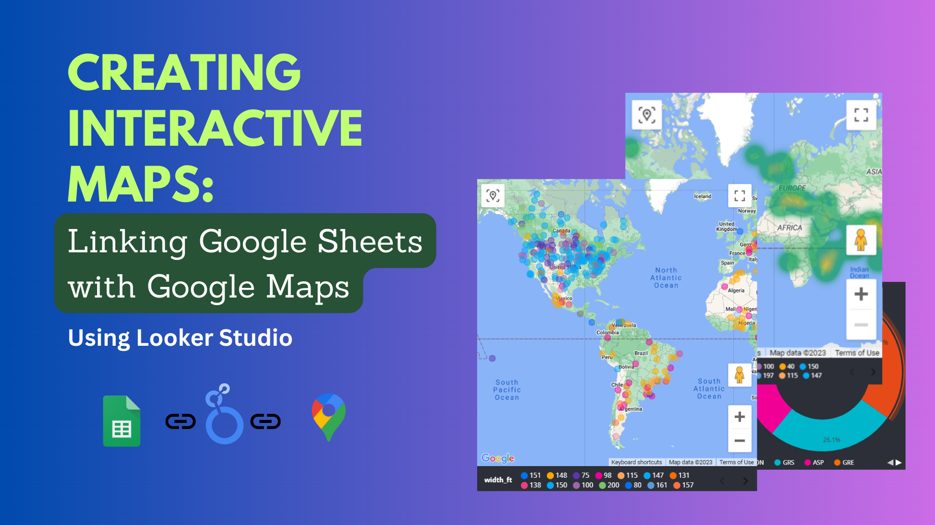
Most of our day-to-day databases include geographic data such as country, region, city, address, latitude-Longitude, place names, etc. Many of you are …
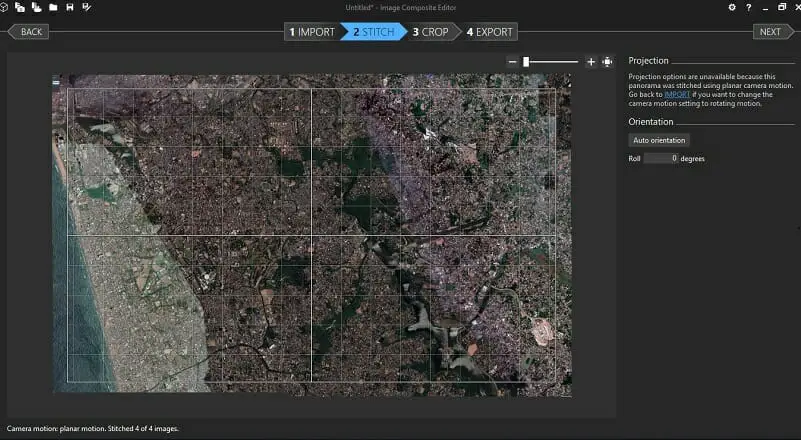
The size of the images that can be printed/ captured from Google Maps is limited to the browser window’s dimensions. Therefore, sometimes …
Sometimes you may need to export Google My Maps data table to Excel or any other formats that can be used with …
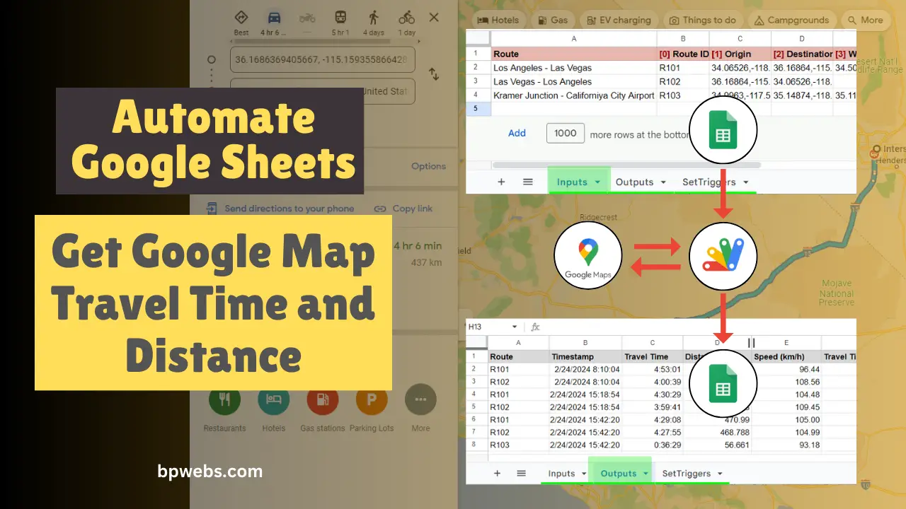
Using the DirectionFinder class of Google Apps script, you get directions between locations from Google Maps. This class returns several details, including …
When you are viewing the Google Map on web browsers, the maximum size of a map image you can capture or print …