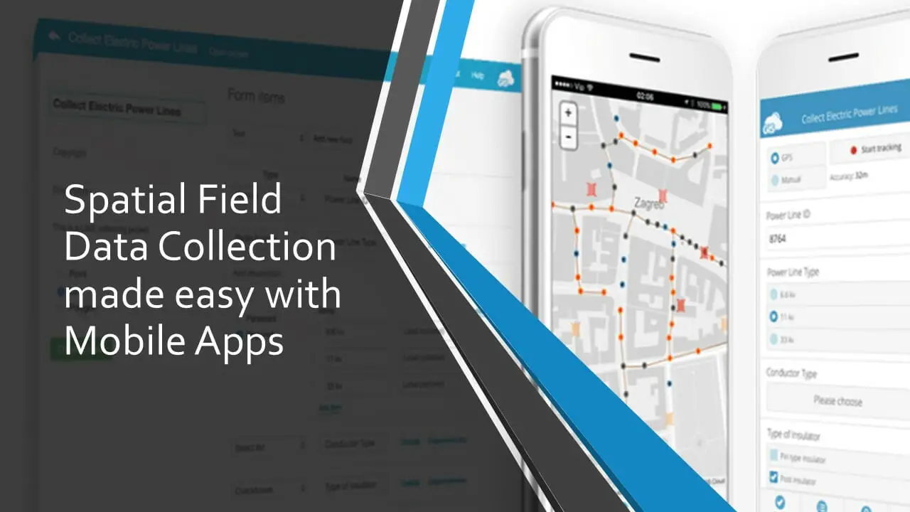
Spatial Field Data Collection made easy with Mobile Apps
The term “spatial data” is used to describe any data related to or containing information about specific locations on the earth’s surface. …
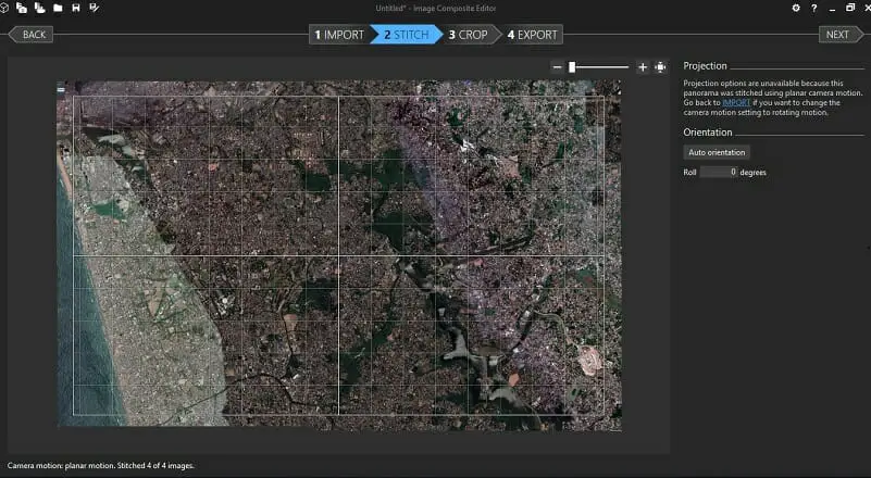
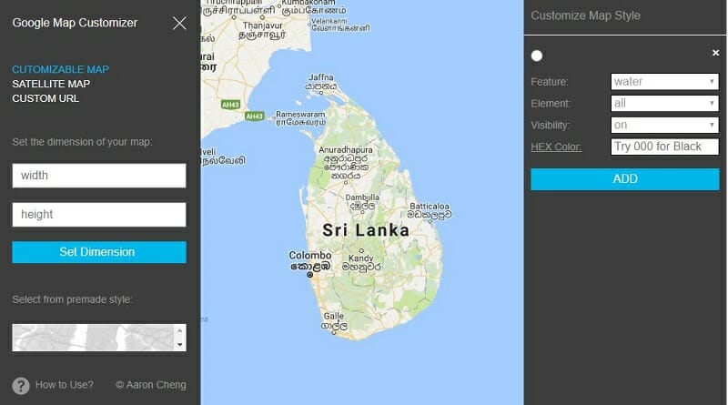
The size of the images that can be printed/ captured from Google Maps is limited to the browser window’s dimensions. Therefore, sometimes …
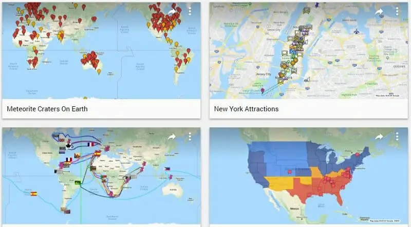
Sometimes you may need to export Google My Maps data table to Excel or any other formats that can be used with …
You can create your own maps by adding several other layers on top of the Google Map using the Google My Maps …
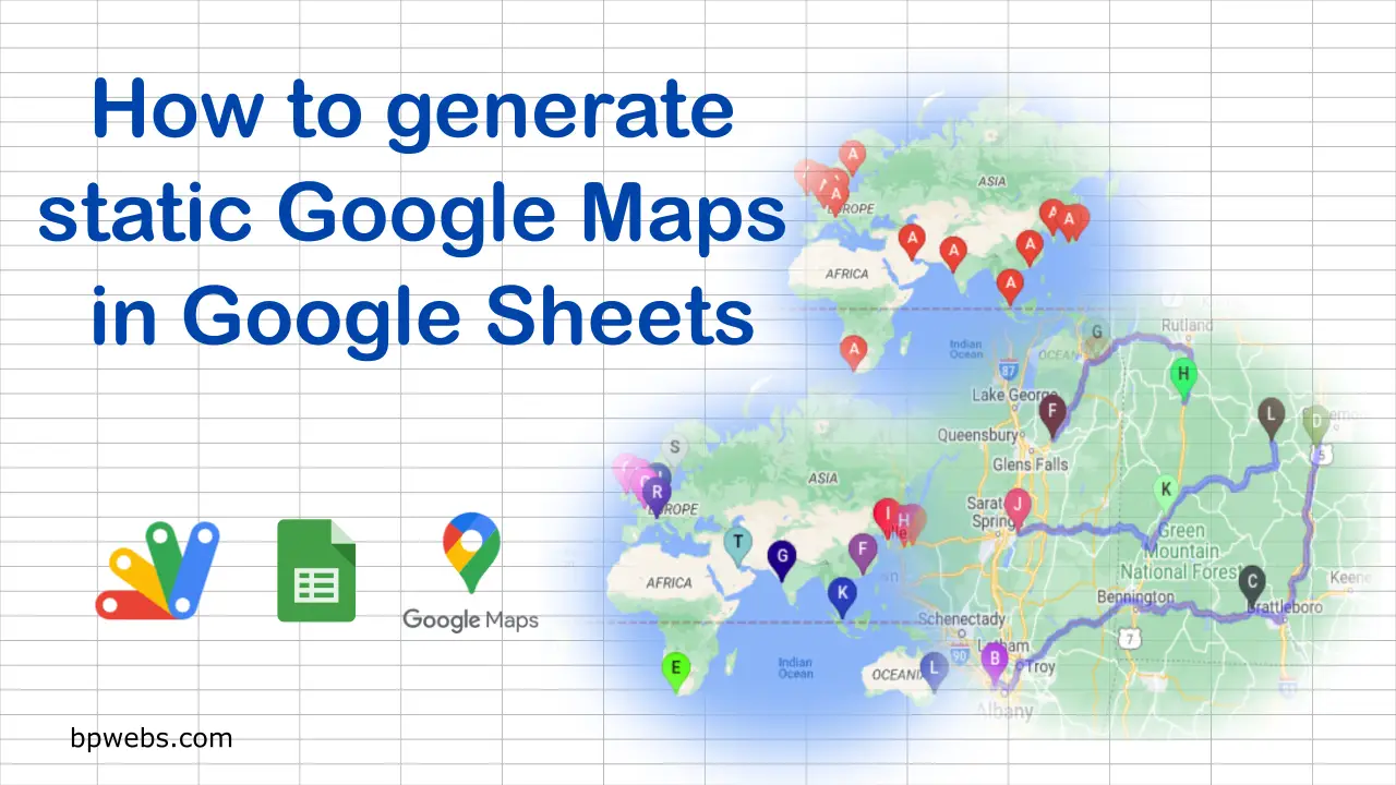
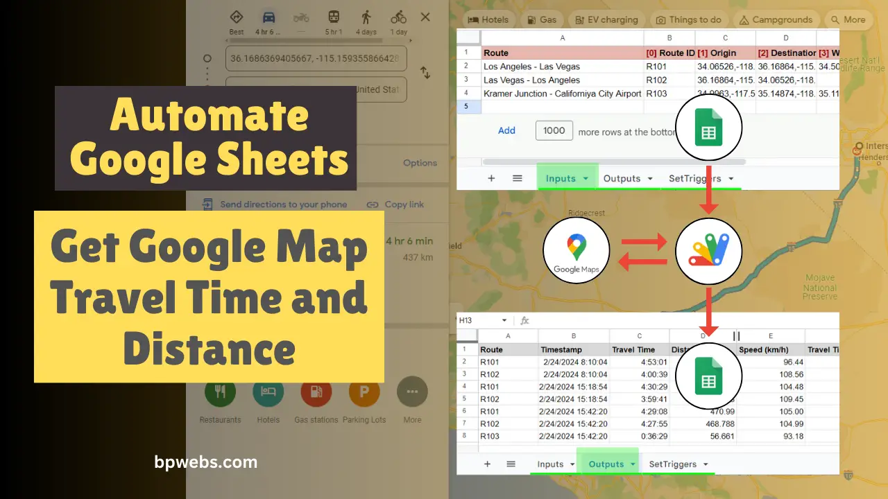
Using the DirectionFinder class of Google Apps script, you get directions between locations from Google Maps. This class returns several details, including …
When you are viewing the Google Map on web browsers, the maximum size of a map image you can capture or print …