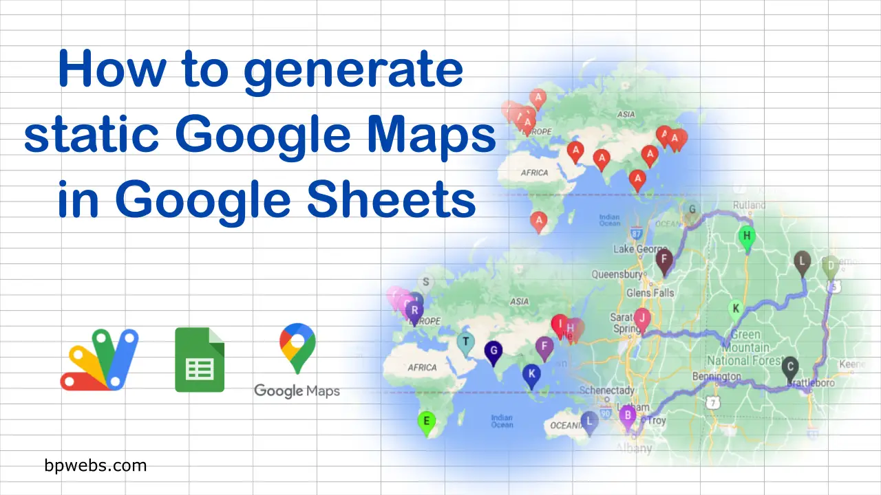
How to generate static Google Maps in Google Sheets

How to generate static Google Maps in Google Sheets

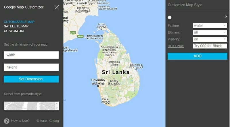
In this blog, we have discussed several methods that you can use to create Google Maps from Google Sheets data. In this post, let’s see how we can generate Google Maps in Google Sheets. In this post, I am going to use Google Apps Script to create the map image inside the Google Sheets. You … Read more
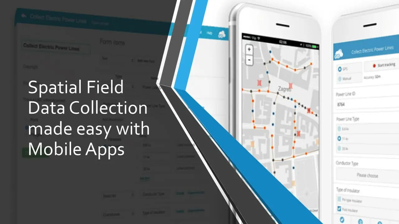
Spatial Field Data Collection made easy with Mobile Apps

Spatial Field Data Collection Made Easy with Mobile Apps

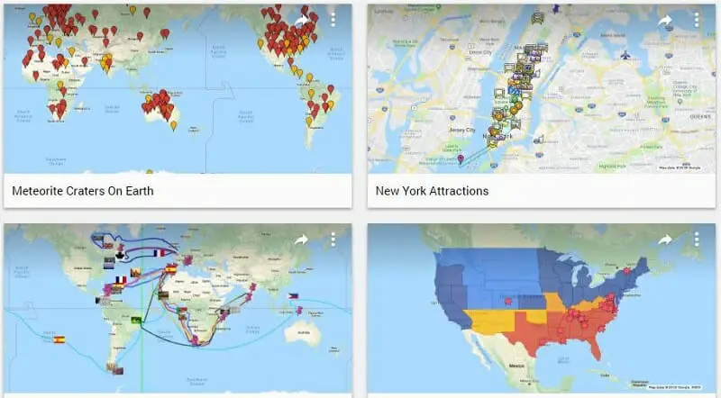
The term “spatial data” is used to describe any data related to or containing information about specific locations on the earth’s surface. Hence, many of the field data you collected can be considered as spatial field data. Spatial field data collection involves collecting three types of features, namely points, lines, and polygons. The spatial data … Read more

Stitching Google Map Images to Create a Large Map

Stitching Google Map Images with Image Composite Editor

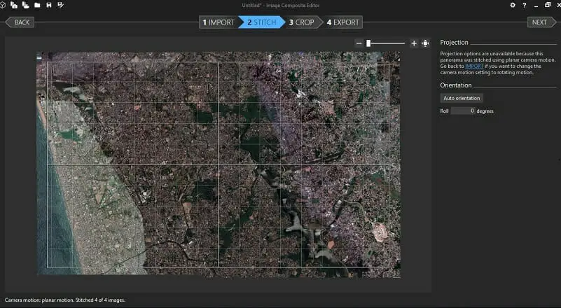
The size of the images that can be printed/ captured from Google Maps is limited to the browser window’s dimensions. Therefore, sometimes you may come across situations where you need stitching Google Map images to make large high-resolution Google Maps. Such situations are maybe for printing purposes or any other offline uses. In my previous … Read more

Automate Google Sheet to get Google Map Travel Time and Distance

Automate Google Sheet to get Google Map Travel Time and Distance

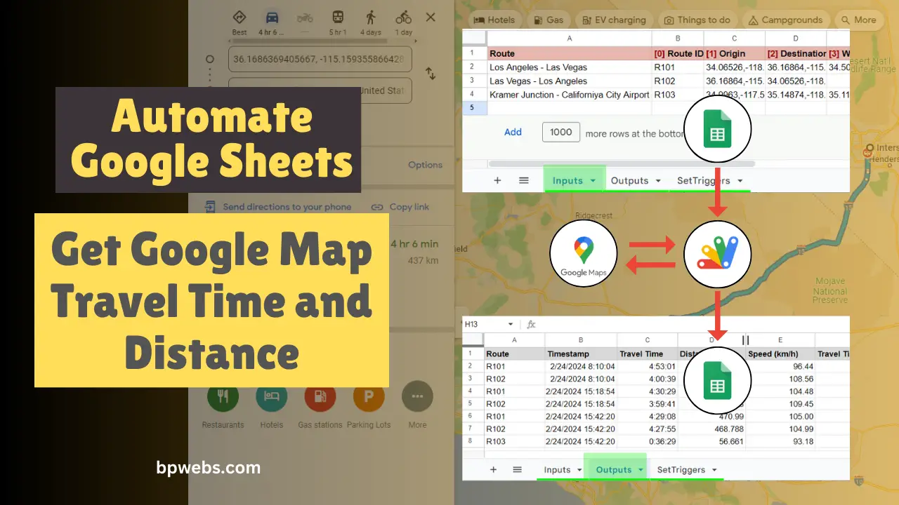
Using the DirectionFinder class of Google Apps script, you get directions between locations from Google Maps. This class returns several details, including travel time and distance between the given two locations. In this tutorial, I will show you how to get Google Map Travel Tim and Distance to Google Sheets automatically using Google Apps Script. … Read more